
Before Europeans colonized North America, 170 million acres of prairie covered the American Midwest. Pops of purple prairie clover, towering strands of bluestem grass and goldenrod, hairy grama, switchgrass, and many more species, thrived. The uninterrupted blanket of interconnected prairie grassland and savanna stretched north and south from Canada to Texas, and east and west from Indiana to Colorado.
Indigenous people lived sustainably off the prairieland, some building homes from the grasses around them, for 10,000 years. It’s estimated that this sprawling and intricate ecosystem was home to just one person per 5,000 acres before colonizers arrived.
The farming and development colonists brought has, in the century-and-a-half since, reduced the landscape once teeming with eight-foot-high grasses to just 1 percent of its former range. Today, tallgrass prairies—which, thanks to their deep root systems, can store up to 1.7 metric tons of carbon per acre, reduce erosion, survive fire, and promote soil health while using 20 to 60 percent less water than yard grasses—are one of the world’s most endangered ecosystems. However, one organization seeks to change that with the help of modern-day technology.
“We’ve lost the connectivity of our prairies.”
Fragmented Prairies
In our modern era of climate change, one of the major threats to conserving and restoring native prairielands has been the dramatic reduction of connectivity among remaining prairies and the resulting loss of biodiversity.
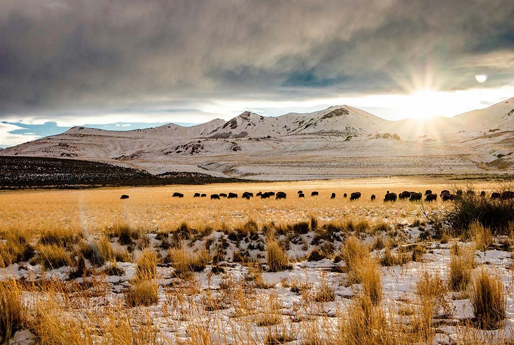
“What we understand from pollen records and things like that is that the Great Plains were largely one big, giant grassland. But you still had a lot of mosaic [diversity] within that,” explains Marissa Ahlering, science director for The Nature Conservancy’s Minnesota, North Dakota, and South Dakota chapter. “There was a lot of connectivity, especially with bison herds migrating and other animals like birds moving through the system, transporting seeds for many, many years.”
Instead of one big, interconnected system naturally laced with diversity, only a fragmented patchwork remains today.
“We’ve lost the connectivity of our prairies. Which does two things: It reduces the amount of area that plants and animals in those systems have to live. Over time, you start to lose some of those animals and plants because they need bigger spaces and larger populations to exist,” Ahlering says. “The second thing is fragmentation, which puts a lot of pressure on the fewer species that are there, making it easier for species that are nonlocal to come in and take over. You continue to lose biodiversity.”
Finding Rare Seeds
Ahlering’s organization has pushed to change this.
In 2020, The Nature Conservancy launched Seeds of Resilience, a data aggregation tool that collects and shares information about where populations of native plants are located across Minnesota and the Dakotas.
It’s designed to help conservationists and restorationists, many of whom work for natural resource departments, source diverse seeds from across the region. This increases biodiversity in both the lands they manage and the specific native plant species while hopefully giving prairies the power to survive the pressures they face from climate change.
Sign up for our free newsletters
Subscribe to NPQ's newsletters to have our top stories delivered directly to your inbox.
By signing up, you agree to our privacy policy and terms of use, and to receive messages from NPQ and our partners.
“The amount of genetic diversity within a particular plant species is really important for that species to be able to adapt to climate change, or any change really,” Ahlering says. The more diversity among a certain species, the more traits the species has to draw on when responding to stress—like increased temperature or extreme storms—in order to survive.
Before the tool, they relied largely on hand-drawn maps and scattered notes.But ensuring that diversity isn’t easy. Some seed species are rare and hard to find. Others, coming from seed vendors, can be expensive and difficult to propagate. Without the Seeds of Resilience tool and its information, time- and money-intensive site surveys are the only other way to identify where plant species are and the extent of their species diversity. And when surveys are conducted, they’re usually not proactively shared.
This led Ahlering and her team in 2019 to the idea that a shared, centralized mapping of native plant species could help. “We went out and started mapping where populations of some of these species are across the landscape so that we could track them and, over time, source seed from multiple locations for new restorations to help set them up for success,” she says.
The First Centralized Tool
So far, the mapping has helped both The Nature Conservancy and other users of the tool.
“Our crews collect seeds on prairielands and then use Seeds of Resilience to map the populations so we can find them again. Then, at the end of the year, we distribute some of the seeds we’ve collected to partners for their restorations as well as for our own,” explains Ben Carlson, a field steward with Ahlering’s chapter who works closely with fish and wildlife service and natural resource departments.
He says that before the tool, they relied largely on hand-drawn maps and scattered notes. Now, the tool not only helps him more efficiently manage the collection efforts of his crews and point departments in the direction of species they’re looking for, but it also completes the usefulness of mapping. “We’ve always had maps for invasive species. This is the first centralized tool for species that we want to look for and include in a restoration.”
“The important thing is just trying to get more diversity into our restorations.”Seeds of Resilience has also helped Chris Woolridge, the science intern program manager at the Chicago Botanic Garden, with seed collection and banking initiatives. He’s been working with the US Fish and Wildlife Service and the Bureau of Land Management on Seeds of Success, a seed collection and banking effort to increase the supply and availability of native plant seeds.
“We can’t strictly rely on wild seed collection for restorations because it’s a critical resource that can be exhausted, so we collect seeds to get them into production,” Woolridge says. “Without a tool like that, you’re going in blind. It’s super helpful to have these occurrence records so that we can plan out our scouting and collection trips.” Plus, it helps them to draw from ecologically healthy areas with a lot of diversity, minimizing the strain that a collection can put on a plant population. “These are very critical resources that we don’t want to overextend,” he adds.
One of the best parts of the tool is that it’s hosted on ArcGIS, a user-friendly platform, which makes replicating it elsewhere an attainable possibility. “Tools like this existed in the past, but you had to be much more of a programmer to build them,” Ahlering explains. Now it’s much easier for lay users to build a database like this and access the data in real time.
It’s this ease of use that Ahlering hopes will entice more people to use and hopefully even replicate Seeds of Resilience elsewhere. “People are welcome to reach out if they’re interested in seeing the tool, how it’s built, or just getting involved,” Ahlering says. “The important thing is just trying to get more diversity into our restorations.”